What we capture, measure, and model — in plain terms.
Six core services, each explained by what it is and what it's used for. If a term is unfamiliar, the glossary below defines it clearly.
Orthomosaic Mapping
A stitched, georeferenced, top-down map of a site built from hundreds of overlapping aerial images.
USED FOR
Planning, records, area and distance measurement, and a shareable, accurate picture of an entire property.
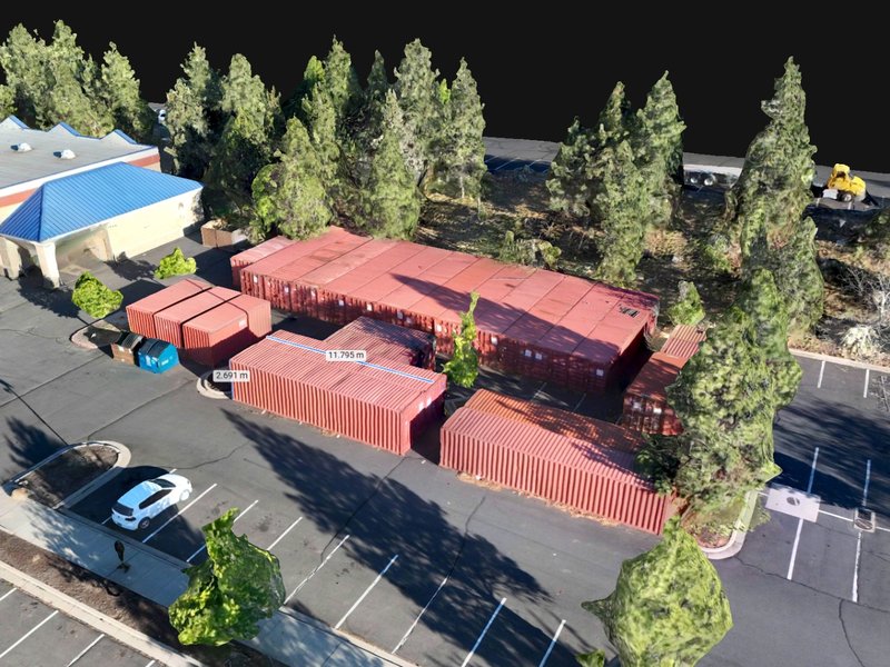
3D Modeling & Reconstruction
We turn a real site, structure, or scene into a 3D model you can explore and measure.
USED FOR
Planning and coordination, forensic scene work, marketing, and showing people a place they can't visit in person.
Volumetric Measurement
Stockpile, cut-and-fill, and earthwork volume calculations derived from georeferenced models, with documented methodology.
USED FOR
Inventory tracking, earthwork verification, billing, and settling quantity disputes.
Forensic Documentation
Scene, site and evidence capture performed with attention to detail and admissibility in mind. Work is performed by licensed investigators and includes traditional photo and video alongside mapping and modeling.
USED FOR
Litigation, insurance claims, accident reconstruction, and any matter that may end up in court.
Progress Monitoring
Recurring, consistent aerial captures of a project over time, producing comparable, time-stamped records.
USED FOR
Owners, lenders, and managers tracking construction progress and building a defensible project history.
Photo & Video
Documentary-style aerial and ground photography and video — an honest, high-quality visual record, cleanly captured and color-corrected.
USED FOR
Project and development records, business and venue documentation, community and event coverage, property imagery, and the right creative shoot.
Reality-capture terms, defined.
Straight definitions so you can evaluate any drone or documentation provider — us included — on the merits.
Not sure which service fits your project?
Describe what you're trying to accomplish. We'll tell you what to capture and why — before you commit to anything.