Measure the site. Track the progress. Avoid disputes.
From preconstruction through closeout, we give builders, developers, and site managers accurate, documented aerial data — the kind that keeps schedules honest and turns disagreements into settled facts. We deliver survey-grade data; we work alongside your surveyors and engineers, we don't replace them. We also handle visual inspections of hard-to-reach structures — roofs, facades, HVAC equipment, communications towers, and other elevated assets — so your team stays on the ground.
How accurate is drone mapping for construction?
With RTK-supported flights and proper ground control, drone orthomosaics and surface models reach survey-grade accuracy — down to centimeter-level — suitable for planning, volumetrics, and record-keeping. We document the methodology and accuracy for every deliverable.
// RTK + ground control = centimeter-level accuracyCan you measure stockpile and earthwork volumes?
Yes. We calculate stockpile, cut-and-fill, and earthwork volumes from georeferenced models, with a documented methodology you can hand to an engineer, an owner, or an auditor.
// Documented, defensible volume figuresCan you track a project over time?
Yes. We fly recurring, consistent progress captures so you can compare the site week to week or month to month with time-stamped, apples-to-apples records — useful for owners, lenders, and claims.
// Consistent, comparable, time-stampedCan you inspect hard-to-reach structures?
Yes. We capture high-resolution visual data of roofs, building facades, HVAC equipment, communications towers, and other elevated or difficult-to-access assets — without scaffolding, lifts, or putting people at height. You get detailed, documented imagery your team can review from the ground, with enough clarity to identify damage, wear, or conditions that need attention.
// No ladders, no lifts — just documented detail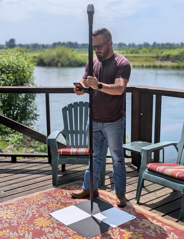
Typical deliverables
- Survey-grade orthomosaic maps (GeoTIFF)
- Digital surface & terrain models (DSM/DTM)
- Stockpile & earthwork cut-and-fill volume reports
- Point clouds (.las / .laz) for CAD & GIS import
- As-built and progress-monitoring captures
- 3D site models for planning & coordination
- Visual inspections of roofs, facades, towers & elevated equipment
What you need to know.
What accuracy can I expect?
How do you handle active job sites and airspace?
What file formats do you deliver?
Can you produce as-built documentation?
Do you offer recurring monitoring contracts?
Can you inspect roofs, towers, and other hard-to-reach assets?
Need reliable aerial data from your site?
Send the location and what you need measured, modeled, or tracked. You'll get a written scope and quote — no vague ranges.